Travel
Getaways from Lara
Sixteen destinations for leaving Cabudare: parks and towns an hour away, the nearest beaches and the country's big trips. With a map, distances and what to know before you go.
Getaways map
Each number is a destination; the dotted lines start in Cabudare. Tap or focus a number to see its name and distance; select it and the page scrolls to its entry.
Legend
- Near Cabudare
- Beaches
- Big trips
- Cabudare (origin)
- Straight line from Cabudare
Near Cabudare
Parks, mountain towns and vineyards in Lara, for a day trip or a weekend.
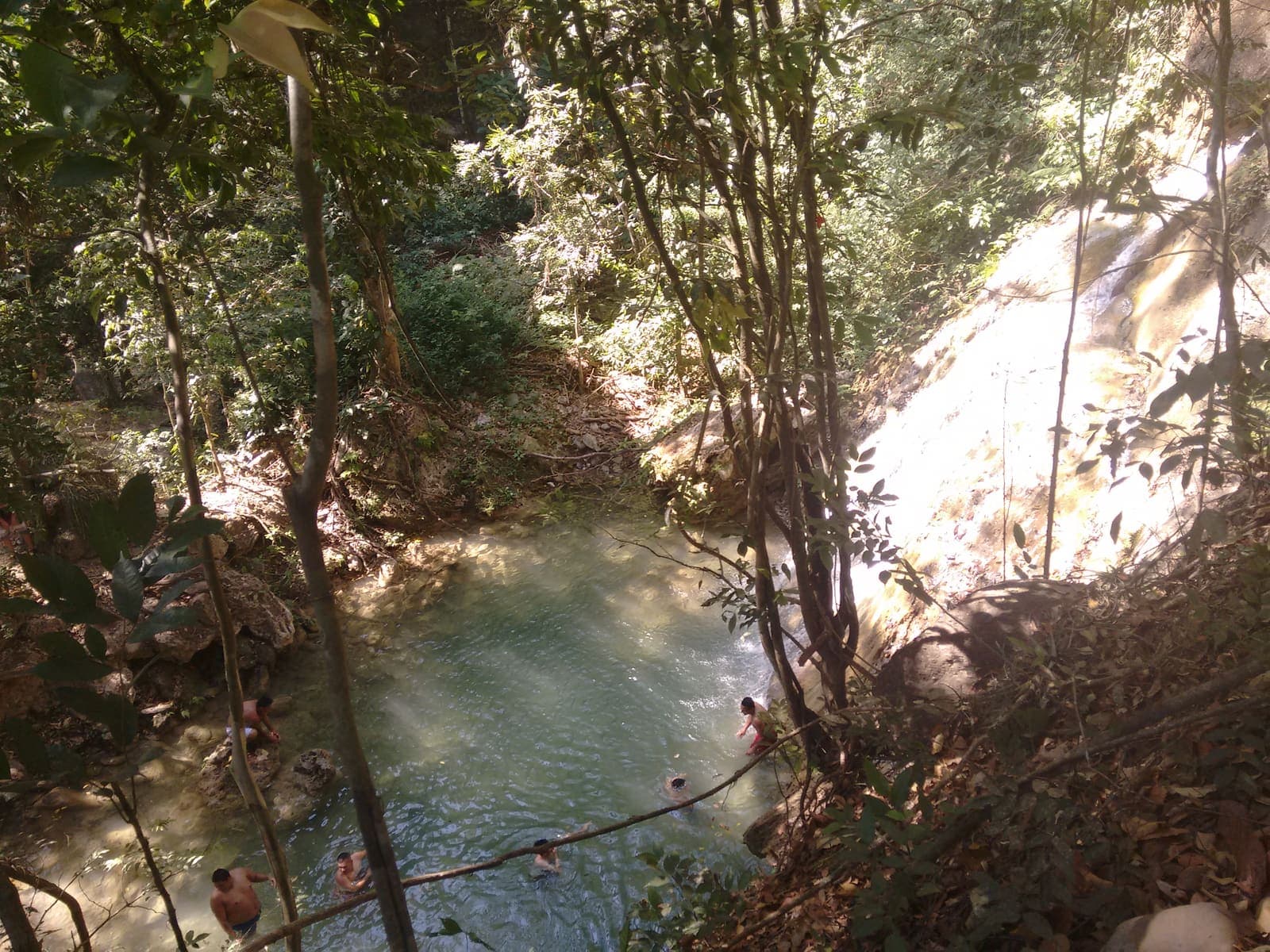

Parque Nacional Terepaima
This is the national park on Cabudare's doorstep: it stretches southeast of Barquisimeto and takes in part of Palavecino municipality. Cloud forest grows on the heights, and temperatures range between 19 and 26 °C.[3]
- Getting there
- It borders Palavecino, Cabudare's municipality. We could not verify the recommended road route in a public source; check road conditions before you set out.[3]
- Protected status
- A national park since April 14, 1976, covering 18,971 hectares.[3]
Coordinates: 9.8872, -69.2694[2]
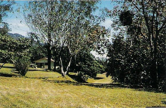

Sanare and Parque Nacional Yacambú
Sanare, seat of Andrés Eloy Blanco municipality, sits at about 1,358 meters and lives on coffee, vegetables and tourism. To the south lies Yacambú, a national park created to protect the watershed of the river of the same name, in the Sierra de Portuguesa.[5][6]
- Getting there
- We could not verify the recommended road route in a public source; check road conditions before you set out.[6]
- Protected status
- A national park since 1962; it protects the watershed that feeds the Yacambú–Quíbor water system.[5]
Coordinates: 9.6333, -69.6667[4]
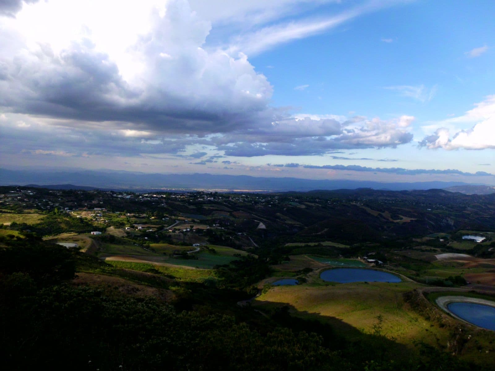

Cubiro
A mountain town in Jiménez municipality, founded in 1546. Its green hills, the Cueva de los Carraos (a cave), El Higuerón park and the church of San Miguel Arcángel are the outings most often cited.[7]
- When to go
- Every September 4, the procession of Santa Rosalía sets out.[7]
- Getting there
- It is 57 km south of Barquisimeto.[7]
Coordinates: 9.7883, -69.5869[7]
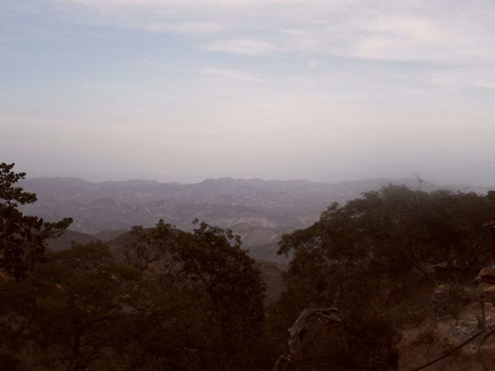

El Tocuyo
Seat of Morán municipality, founded in 1545 by Juan de Carvajal. The expeditions that founded other cities in the country set out from here.[8]
- Getting there
- We could not verify the recommended road route in a public source; check road conditions before you set out.[8]
Coordinates: 9.7822, -69.7931[8]
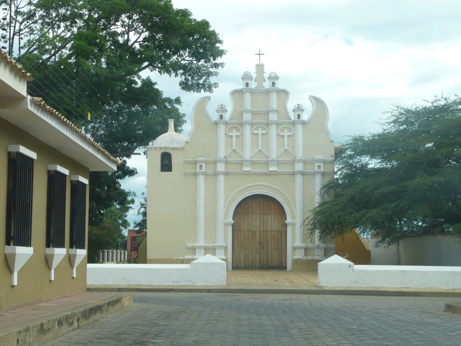

Carora and its vineyards
Lara's second city keeps a colonial quarter declared a Monumento Nacional (national monument) in 1977. In its hot, dry climate, with vineyards in Altagracia, Bodegas Pomar has made Lara wine since the eighties.[9][10][11]
- Getting there
- The road linking Barquisimeto and Carora crosses Parque Nacional Cerro Saroche, a semi-arid area with about 300 mm of rain a year.[12]
- Protected status
- The historic quarter is a national monument; Cerro Saroche has been a national park since 1989.[9][12]
- Heads-up
- We could not confirm the current hours for guided tours of the winery; ask before you go.[10]
Coordinates: 10.1692, -70.0783[9]
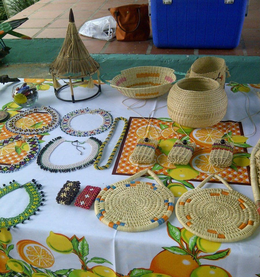

Quíbor and Tintorero
Quíbor bills itself as the Ciudad Artesanal de Venezuela (the country's crafts capital) and is home to the Museo Antropológico Francisco Tamayo. Nearby, Tintorero is the town of chinchorros (net hammocks) and hammocks woven on foot-pedal looms.[14][15]
- Getting there
- Tintorero is about 20 minutes from Barquisimeto; both towns belong to Jiménez municipality.[15]
Coordinates: 9.9281, -69.5778[13]
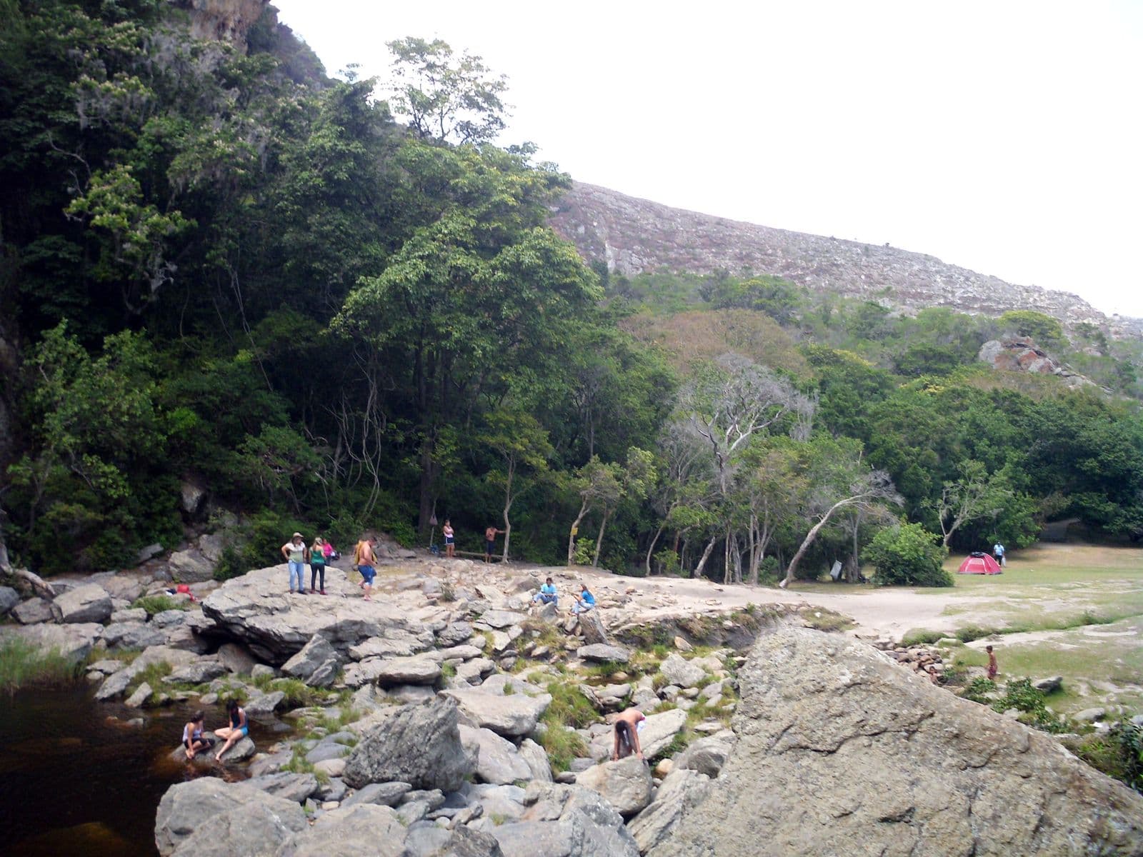

Cascada del Vino (“la Quebrada del Vino”)
A waterfall in Morán municipality, near Barbacoas, inside Parque Nacional Dinira. Its rock pools draw swimmers from Barquisimeto and other cities.[17][18][21]
- Getting there
- Access is by the Hato Arriba road, which the regional press describes as the only way to the waterfall.[20]
- Protected status
- Parque Nacional Dinira, created in 1988, protects the upper watershed of the Tocuyo River.[18]
Coordinates: 9.7859, -70.0322[16]
Beaches
The coast closest to Lara: the cays of Falcón, the dunes of Coro and the bay of Choroní.
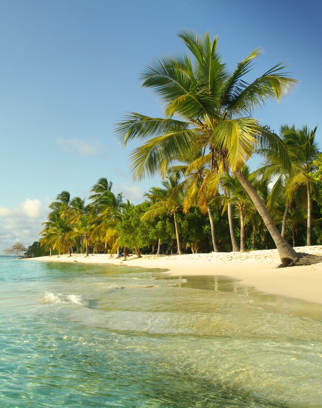

Parque Nacional Morrocoy
Cays and beaches on Falcón's eastern coast, with Tucacas and Chichiriviche as gateways. Next door is the Refugio de Fauna Silvestre de Cuare, a wildlife-refuge wetland with flamingos and scarlet ibis.[23][24][25]
- When to go
- Rain is concentrated from October to December; the rest of the year is drier.[23]
- Getting there
- The Autopista Centroccidental Cimarrón-Andresote from Barquisimeto to Morón, then the Troncal 3 highway toward Tucacas via Boca de Aroa. The cays are reached by boat from Tucacas or Chichiriviche.[26][27][28]
- Protected status
- A national park since May 26, 1974, covering 32,090 hectares.[23]
- Heads-up
- After the 2026 earthquakes the park remains open, but there are detours on the road and the Punta Brava bridge is closed to cars: you cross on foot and continue by transport on the other side (August 2026).[28]
Coordinates: 10.856, -68.306[22]
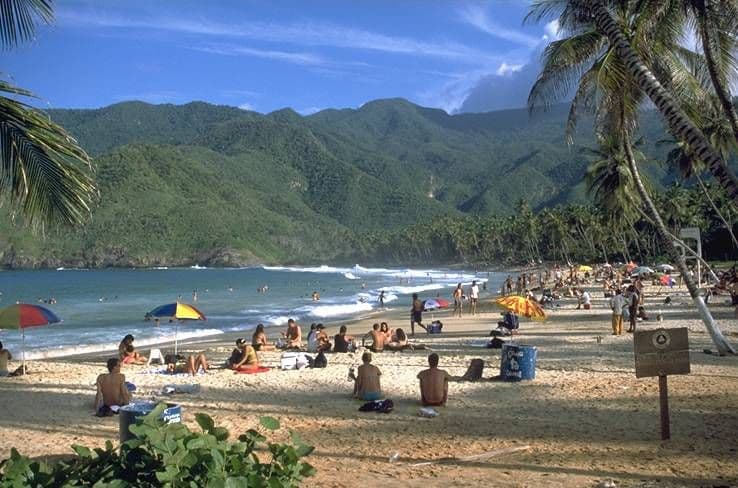

Choroní and Puerto Colombia
Choroní and its port, Puerto Colombia, are on the Aragua coast, on the far side of the mountains of Parque Nacional Henri Pittier, the country's oldest national park.[29][30]
- Getting there
- The Troncal 1 highway to Valencia and the Autopista Regional del Centro to Maracay; from there, the Maracay–Choroní road, the only land route, narrow and very winding.[31][32]
- Protected status
- Inside Parque Nacional Henri Pittier, created in 1937.[30]
- Heads-up
- The road is prone to landslides: after a mudslide on August 30, 2026, it reopened the next day. Landslides on October 10, 2026, closed it again; since October 14 the Girardot mayor's office has allowed partial, supervised passage, between 6 a.m. and 12 noon and only for food and fuel, with no date for full reopening. In addition, the U.S. keeps Aragua state outside Maracay at its highest level (“Do Not Travel”).[33][34][54]
Coordinates: 10.5064, -67.6061[29]
Reference operators (1)
Cabudare receives no payment from these operators. Check their licenses (RTN) and terms before booking.
- Cacaoni Hotel · Press or guideA hotel in Choroní offering guided outings to the Chuao cacao plantations, the El Chorrerón waterfall and nearby beaches.Evidence: El Diario, “Semana Santa 2026 en Venezuela: paquetes de viajes para disfrutar distintos destinos” (March 26, 2026)
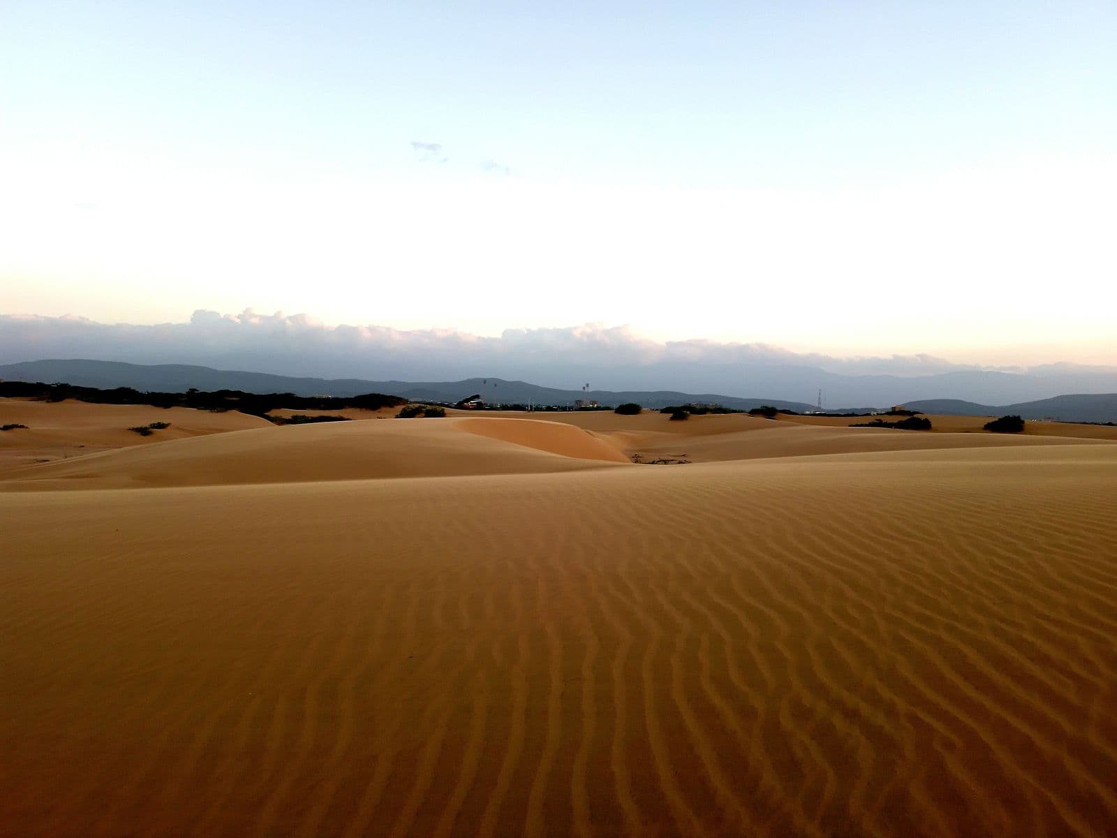

Médanos de Coro
A field of sand dunes next to Coro, in one of the driest corners of the country: it gets between 250 and 500 millimeters of rain a year.[35]
- Getting there
- The Troncal 4, the Lara–Falcón highway, leaves Barquisimeto and Cabudare and runs through Churuguara to Coro.[36]
- Protected status
- A national park since February 6, 1974.[35]
Coordinates: 11.6064, -69.7376[35]
Big trips
Tepuis, islands and páramos (high Andean moors): trips of several days, almost always with a flight involved.
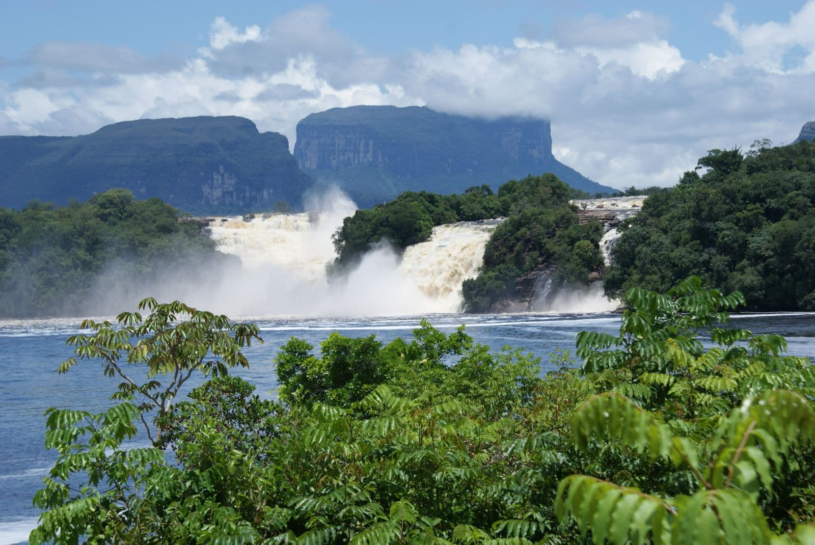

Canaima
The Canaima lagoon, with its waterfalls, is the starting point for Salto Ángel (Angel Falls). About 65% of the park is covered by tepuis, the flat-topped mountains of the Guayana region.[38][39]
- Getting there
- No road reaches the lagoon: you arrive by small plane. In September 2026 Conviasa announced flights to Canaima from Maiquetía; confirm schedules with the airline.[40][42]
- Protected status
- A national park since 1962 and a UNESCO World Heritage Site since 1994, covering about 3 million hectares.[39][43]
- Heads-up
- The U.S. advises against travel to rural areas of Bolívar state.[54]
Coordinates: 6.2467, -62.8507[37]
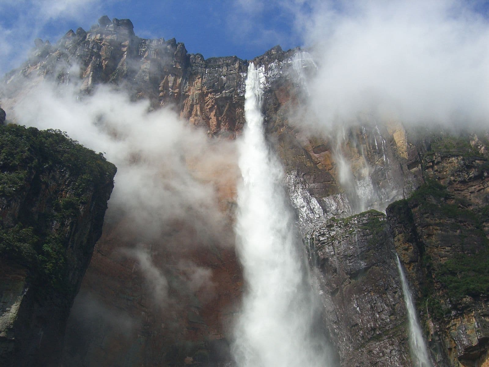

Salto Ángel (Angel Falls; Kerepakupai Merú)
The world's highest waterfall: 979 meters, 807 of them in free fall. The classic excursion travels upriver by curiara (dugout canoe) from Canaima.[39][40]
- When to go
- From May to November, with the rains, the falls run full and the rivers are navigable; from December to March the flow drops sharply and the curiara has a harder time.[40][41]
- Getting there
- By small plane to Canaima and from there by curiara.[40]
- Protected status
- Inside Parque Nacional Canaima, a World Heritage Site.[39]
- Heads-up
- The U.S. advises against travel to rural areas of Bolívar state.[54]
Coordinates: 5.9701, -62.5362[40]
Reference operators (1)
Cabudare receives no payment from these operators. Check their licenses (RTN) and terms before booking.
- Campamento Canaima · Press or guideA camp beside the Canaima lagoon that runs curiara (dugout canoe) trips to Salto Ángel, as a day trip or with a night in a hammock, plus scenic flights and visits to other waterfalls in the park.Evidence: El Diario, “Semana Santa 2026 en Venezuela: paquetes de viajes para disfrutar distintos destinos” (March 26, 2026)
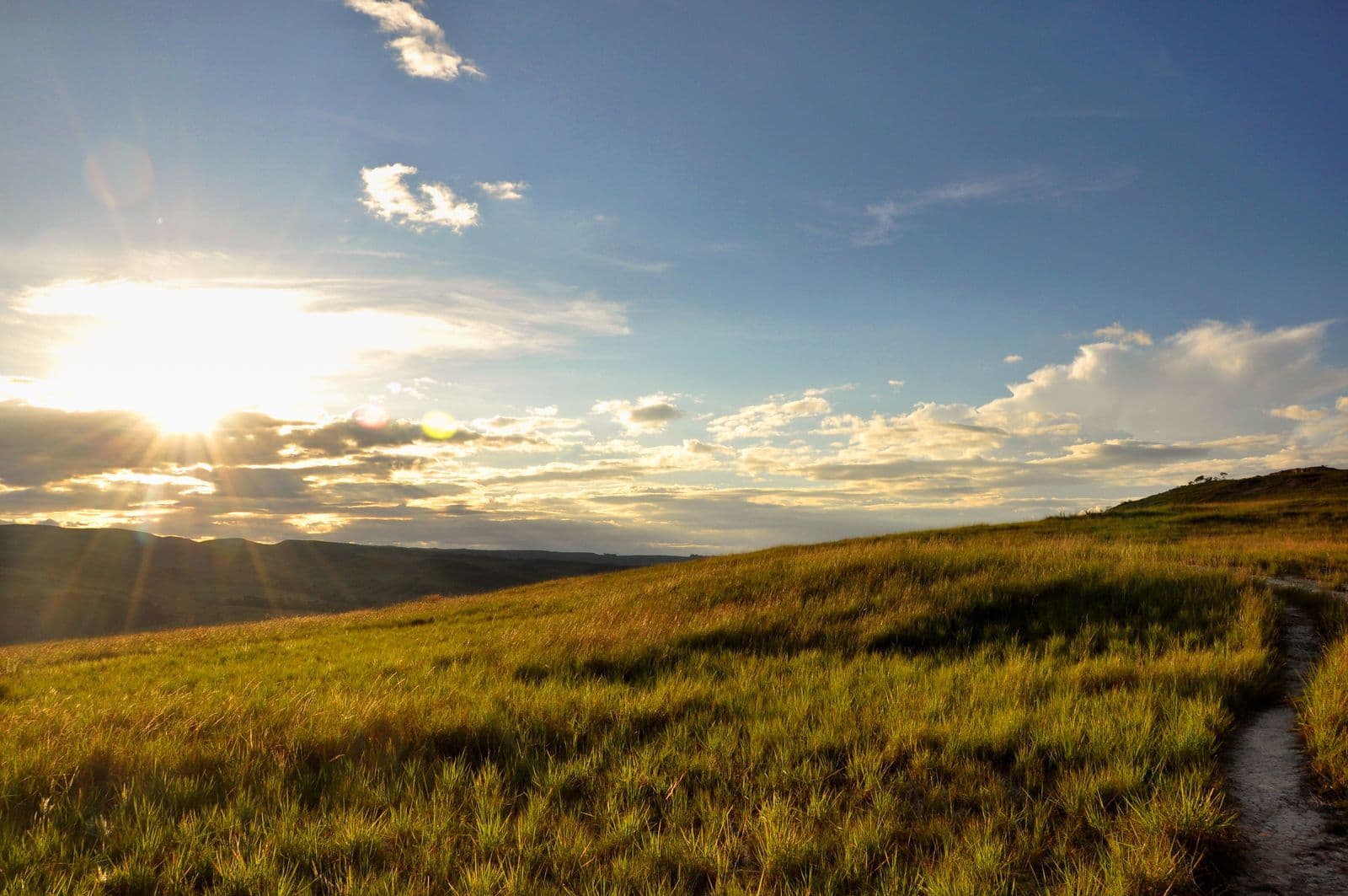

La Gran Sabana
The southern sector of Canaima: some 10,820 km² of high savanna, with waterfalls and rivers such as Kama Merú and the Quebrada de Jaspe, and the Roraima and Kukenán tepuis (2,680 m) on the horizon.[38][43]
- Getting there
- By paved road from Ciudad Guayana (615 km to Santa Elena de Uairén), climbing from El Dorado up La Escalera, from 200 to 1,500 meters of altitude.[43]
- Heads-up
- Climbing Roraima requires an Indigenous guide and registration at the INPARQUES (national parks agency) office in Paraitepuy. The United Kingdom advises against all travel to Sifontes municipality (El Dorado, on the route) and within 40 km of the border with Brazil; the U.S. advises against travel to rural areas of Bolívar.[44][54][56]
Coordinates: 5.2815, -61.2145[43]
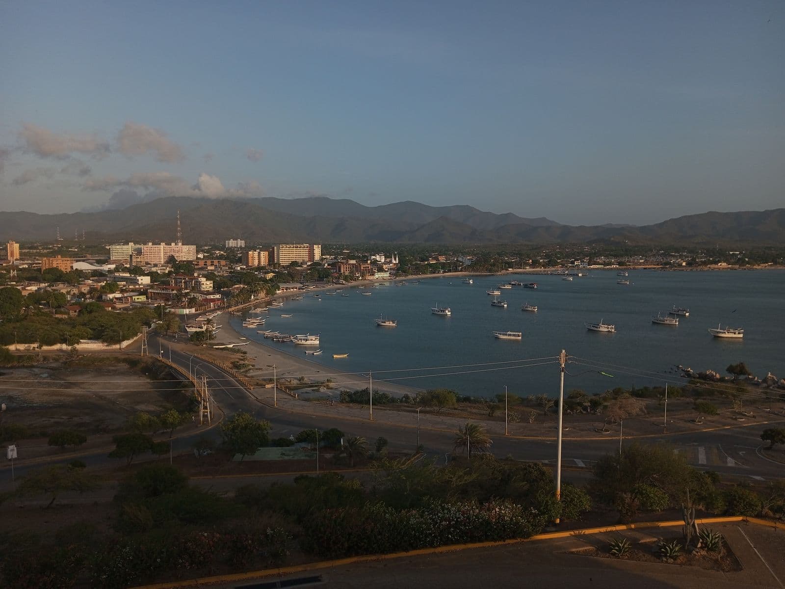

Isla de Margarita (Margarita Island)
The main island of Nueva Esparta state, which also includes Coche and Cubagua. In the photo, the bay of Juan Griego.[45]
Coordinates: 10.9869, -63.9356[45]
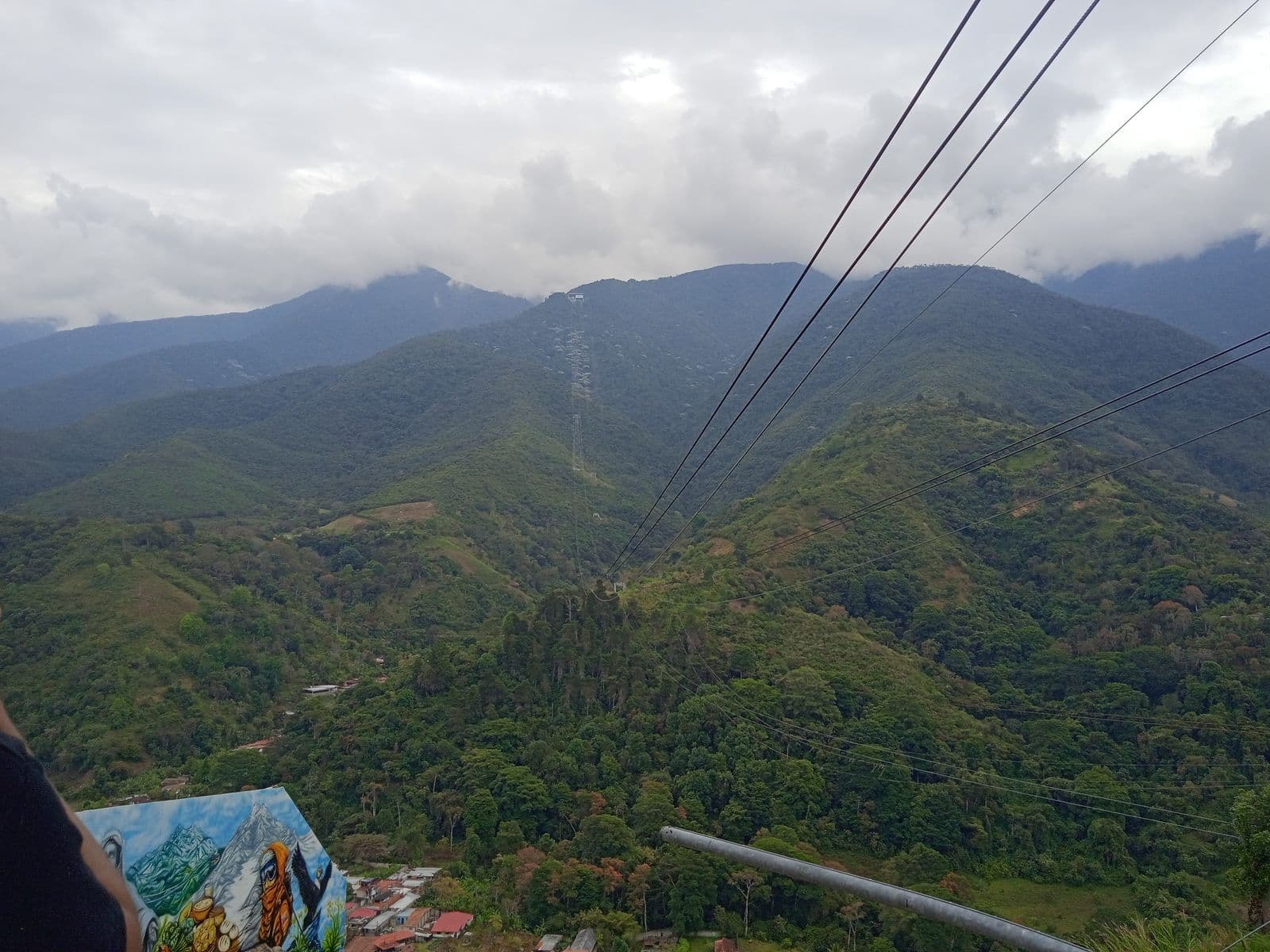

Mérida and the Sierra Nevada
The Andean city is the gateway to the Sierra Nevada, where Pico Bolívar (4,978 m) rises. The Mukumbarí cable car climbs from the city to 4,765 meters over a route of about 12.5 km.[49][50]
- Getting there
- By air, Conviasa announced flights from Maiquetía to El Vigía. We could not verify the recommended road route in a public source; check road conditions before you set out.[42]
- Protected status
- Parque Nacional Sierra Nevada, created in 1952, covering 276,446 hectares.[49]
Coordinates: 8.5702, -71.1802[48]
Reference operators (2)
Cabudare receives no payment from these operators. Check their licenses (RTN) and terms before booking.
- Venezolana de Teleféricos (Ventel) · Official registryThe state company that operates Mérida's Mukumbarí cable car system.Evidence: El Diario, “Reabrieron el Teleférico Mukumbarí de Mérida tras culminar labores de mantenimiento” (August 19, 2026) · Official registry: Ministerio del Poder Popular para el Turismo (tourism ministry; affiliated agency)
- Venezolana de Turismo (Venetur) · Official registryThe state tour operator, selling packages to Mérida that include the cable car and lodging.Evidence: El Diario, “Semana Santa 2026 en Venezuela: paquetes de viajes para disfrutar distintos destinos” (March 26, 2026) · Official registry: Ministerio del Poder Popular para el Turismo (tourism ministry; affiliated agency)
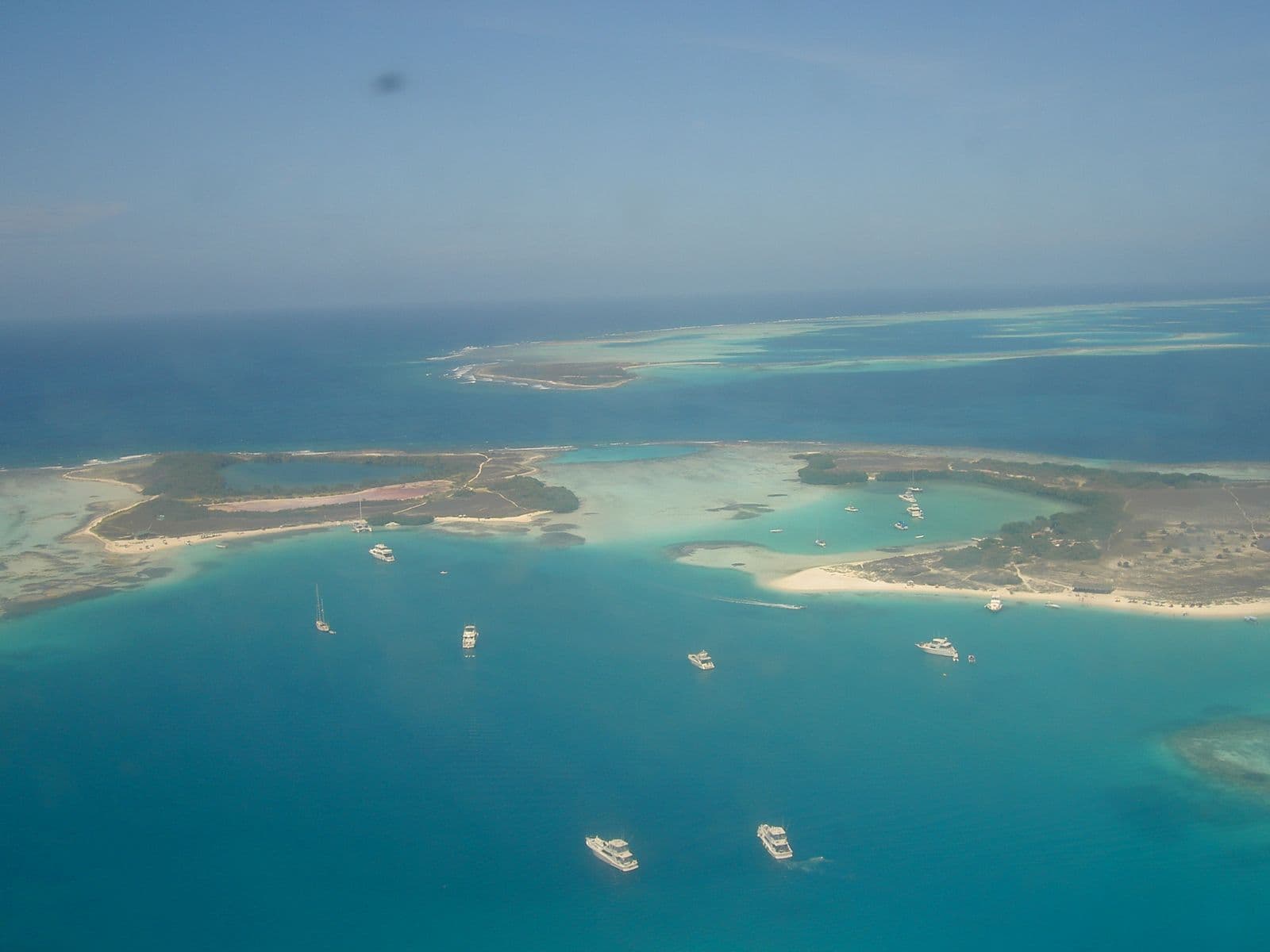

Archipiélago Los Roques
An archipelago in the open sea, off the central coast, with El Gran Roque as the arrival point. It gets very little rain, about 250 mm a year, and a lobster festival is held in November.[52][53]
- Getting there
- Only by air or by sea: Conviasa included Los Roques among the destinations it resumed from Maiquetía in September 2026. Confirm schedules with the airline.[42]
- Protected status
- A national park since August 8, 1972, covering 221,120 hectares; since 2011 it has been part of the Territorio Insular Francisco de Miranda.[53]
- Heads-up
- We found no official, dated source for the park entrance fee; ask your posada (guesthouse).[52]
Coordinates: 11.8628, -66.7826[52]
Reference operators (3)
Cabudare receives no payment from these operators. Check their licenses (RTN) and terms before booking.
- Posada La Gaviota · Press or guideA family-run beachfront posada (guesthouse) on El Gran Roque, with full board and water activities such as kayaking and diving.Evidence: El Diario, “Semana Santa 2026 en Venezuela: paquetes de viajes para disfrutar distintos destinos” (March 26, 2026)
- Macanao Lodge by LD Hoteles · Press or guideA posada on El Gran Roque with full-board or bed-and-breakfast plans, and boat trips to the cays.Evidence: El Diario, “Semana Santa 2026 en Venezuela: paquetes de viajes para disfrutar distintos destinos” (March 26, 2026)
- Posada La Quigua · Press or guideA small posada on El Gran Roque for families and groups, with pickup at the local airport.Evidence: El Diario, “Semana Santa 2026 en Venezuela: paquetes de viajes para disfrutar distintos destinos” (March 26, 2026)
Before you travel
Travel advisories. As of October 15, 2026, the U.S. Department of State keeps Venezuela at Level 3 of 4 (“Reconsider Travel”) and at Level 4 (“Do Not Travel”) the 20-mile strip along the Colombian border and the states of Amazonas, Apure, Guárico and Táchira, Aragua outside Maracay, and rural areas of Bolívar. The United Kingdom advises against all but essential travel to the whole country, Zulia included, and since October 14 against all travel to Amazonas state, Bolívar's Arco Minero (mining arc), Delta Amacuro south of the Orinoco and within 40 km of the borders with Colombia, Brazil and Guyana. Spain recommends extreme caution and not traveling at night in the interior.[54][55][56]
Documents. Carry original documents when traveling in the interior. The INTT (national land transport agency) lists what drivers must carry: cédula (national ID card), driver's license, medical certificate, civil liability insurance and the vehicle's registration card.[55][57]
Fuel. In September 2026 there were lines kilometers long and power outages at Lara's gas stations, with a gasoline quota that the transport operators' union puts at 60 liters a week. Outside the big cities shortages persist: leave with a full tank.[55][58]
After the earthquakes. The earthquakes of June 24, 2026, damaged roads and buildings in Falcón, Yaracuy, Miranda, La Guaira, Maracay, Valencia and Caracas. Maiquetía airport reopened on September 1 with temporary terminals and few flights: confirm each leg with the airline and the state of the road before you leave.[59][60]
Sources
- 1.Spanish Wikipedia, Cabudare.
- 2.OpenStreetMap, Parque Nacional Terepaima (way 72376805).
- 3.Spanish Wikipedia, Parque nacional Terepaima (rev. Jun 6, 2025).
- 4.Wikidata, Parque nacional Yacambú (Q4845618), coordinates.
- 5.Spanish Wikipedia, Parque nacional Yacambú (rev. Jun 6, 2025).
- 6.Spanish Wikipedia, Sanare (rev. Jul 29, 2026).
- 7.Spanish Wikipedia, Cubiro (rev. Nov 7, 2025).
- 8.Spanish Wikipedia, El Tocuyo (rev. Jul 27, 2026).
- 9.Spanish Wikipedia, Carora (rev. Sep 2, 2026).
- 10.Spanish Wikipedia, Bodegas Pomar (rev. May 19, 2026).
- 11.El Nacional, Pomar cosecha uvas, produce vino y hace historia como la única bodega vitivinicultora de Venezuela (Feb 9, 2024).
- 12.Spanish Wikipedia, Parque nacional Cerro Saroche.
- 13.Wikidata, Quíbor (Q1021748), coordinates.
- 14.Spanish Wikipedia, Quíbor (rev. Sep 16, 2025).
- 15.Spanish Wikipedia, Tintorero (Venezuela) (rev. Sep 23, 2026).
- 16.OpenStreetMap, Cascada del Vino (node 10233003763).
- 17.Spanish Wikipedia, Cascada del Vino.
- 18.Spanish Wikipedia, Parque nacional Dinira (rev. Oct 26, 2025).
- 19.Notiprensa Digital, Restringen acceso a la Cascada del Vino en Morán por crecida del caudal tras lluvias (Apr 3, 2026).
- 20.La Prensa de Lara, Vía entre Hato Arriba y la Cascada del Vino queda intransitable por las lluvias (Apr 24, 2026).
- 21.Efecto Cocuyo, Rescatados sanos y salvos 45 turistas atrapados por derrumbe en la Cascada del Vino (Apr 27, 2026).
- 22.Wikidata, Parque nacional Morrocoy (Q3896391), coordinates.
- 23.Spanish Wikipedia, Parque nacional Morrocoy (rev. Jul 9, 2026).
- 24.Spanish Wikipedia, Chichiriviche (rev. Dec 26, 2025).
- 25.Spanish Wikipedia, Refugio de Fauna Silvestre de Cuare (rev. Jul 11, 2026).
- 26.Spanish Wikipedia, Autopista Centro Occidental Cimarrón-Andresote.
- 27.Spanish Wikipedia, Troncal 3.
- 28.El Pitazo, Parque Nacional Morrocoy está abierto: así funcionarán las visitas a Falcón tras los terremotos (Aug 7, 2026).
- 29.Spanish Wikipedia, Puerto Colombia (Aragua).
- 30.Spanish Wikipedia, Parque nacional Henri Pittier (rev. Jun 16, 2026).
- 31.Spanish Wikipedia, Troncal 1 (Venezuela).
- 32.Spanish Wikipedia, Carretera Maracay-Choroní.
- 33.Últimas Noticias, Reabren paso hacia Choroní tras derrumbes en la carretera (Aug 31, 2026).
- 34.El Diario, Abrieron parcialmente el paso por la carretera hacia Choroní (Oct 14, 2026).
- 35.Spanish Wikipedia, Parque nacional Los Médanos de Coro (rev. Sep 24, 2026).
- 36.Spanish Wikipedia, Troncal 4 (Venezuela).
- 37.Spanish Wikipedia, Laguna de Canaima.
- 38.Spanish Wikipedia, Parque nacional Canaima (rev. Mar 21, 2026).
- 39.UNESCO World Heritage Centre, Canaima National Park.
- 40.Spanish Wikipedia, Salto Ángel (rev. Aug 2, 2026).
- 41.Río Negro (Argentina), El salto de agua más alto del mundo: cuándo ir para verlo en su máximo esplendor (Apr 13, 2026).
- 42.El Nacional, Conviasa habilitó 19 destinos dentro y fuera del país tras inauguración de terminales temporales del aeropuerto de Maiquetía (Sep 7, 2026).
- 43.Spanish Wikipedia, La Gran Sabana (rev. Jan 30, 2026).
- 44.Spanish Wikipedia, Monte Roraima.
- 45.Spanish Wikipedia, Isla de Margarita (rev. Sep 10, 2026).
- 46.El Nacional, Conferry reactivará operaciones en la ruta Puerto La Cruz-Margarita tras casi tres años de paralización total (Jun 9, 2026).
- 47.El Informador, Desde este 1ro de julio aeropuerto internacional de Barquisimeto retoma itinerario de vuelos (Jul 1, 2026).
- 48.Spanish Wikipedia, Mérida (Venezuela).
- 49.Spanish Wikipedia, Parque nacional Sierra Nevada (Venezuela) (rev. Dec 12, 2025).
- 50.Spanish Wikipedia, Teleférico de Mérida (rev. Jul 30, 2026).
- 51.El Diario, Reabrieron el Teleférico Mukumbarí de Mérida tras culminar labores de mantenimiento (Aug 19, 2026).
- 52.Spanish Wikipedia, Parque nacional Archipiélago de Los Roques (rev. Jan 27, 2026).
- 53.Spanish Wikipedia, Archipiélago Los Roques (rev. Sep 11, 2026).
- 54.U.S. Department of State, Venezuela - Level 3: Reconsider Travel (official feed of Jun 27, 2026; accessed Oct 15, 2026).
- 55.Ministerio de Asuntos Exteriores de España (Spain's foreign ministry), Recomendaciones de viaje: Venezuela (updated Sep 17, 2026).
- 56.Foreign, Commonwealth & Development Office (United Kingdom), Venezuela travel advice (updated Oct 14, 2026).
- 57.Instituto Nacional de Transporte Terrestre (INTT, national land transport agency), Conoce los documentos que debes portar para circular en el territorio nacional (Jan 12, 2023).
- 58.El Informador, Apagones golpean las gasolineras en Lara: transportistas duermen en las E/S y usuarios quedan varados (Sep 24, 2026).
- 59.Spanish Wikipedia, Terremotos de Venezuela de 2026 (rev. Sep 20, 2026).
- 60.EFE, via Infobae, Venezuela reanuda con ocho vuelos las operaciones en su principal aeropuerto tras sismos (Sep 1, 2026).
- 61.Natural Earth, Admin 0 Countries and Admin 1 States, Provinces (1:10m, public domain).